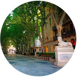
A team of researchers from the University of the Balearic Islands has developed a technique to detect compliance with social distancing on the street whilst respecting user privacy, based on location data from the SmartWifi network in Palma provided by the company Wiongo
During the first wave of COVID-19, it became clear that physical distancing between individuals was one of the most effective tools to manage the pandemic. During the return-to-normal phase, careful detection and management tools are needed to minimise situations with infection risks that could lead to further outbreaks. Once again, social distancing is crucial.
In light of this need, a multidisciplinary team of research from the SmartDestination/SmartCity working group at the University of the Balearic Islands is proposing use of the SmartWifi network in Palma as a way to monitor compliance with social distancing amongst people in the city.
The technology was already used to monitor pedestrian congestion in Palma in 2019 and provided highly useful data for management by the relevant authorities.
The SmartWifi network in Palma is able to determine the presence of mobile devices in the signal area and create a monitoring framework that respects user privacy whilst determining spikes in concentration of individuals that make social distancing difficult.
The UIB researchers have analysed mobile data from the first months of 2020 and concluded that during the first ten days of lockdown, the number of mobile devices on the move dropped by up to 60%, depending on the area of Palma. They have also found differences between the areas analysed and specified timeslots and days where social distancing was not maintained or was difficult to achieve.
Monitoring within the new mobility framework
During the easing of lockdown process, a new mobility situation has been implemented for the population based on age and territory that requires attention and monitoring by the relevant authorities to help maintain the safety levels required from a health standpoint.
This uneven management task for easing requires the most important areas of the city to be monitored in order to help optimise public resources. This work analyses the SmartWifi network as a tool to undertaken this monitoring and will enable:
- The daily mobility pattern for the new normal to be determined
- A contribution to optimise public resources
- Stronger urban mobility management based on measurable indicators.
It will also enable continuous joint assessment of the permitted limits of use for urban spaces, establishing GPS indicators to provide a global overview and to improve time and space management.
Possible social distance
The study has used techniques from GPS and enabled eight geographic spaces in Palma covered by the SmartWifi network to be set and characterised. It has uncovered the available space for individuals, removing the space taken up by urban infrastructure, trees or street lamps that make mobility more difficult. This profiling has enables a 'possible social distance' indicator to be defined that is specific to each geographic area. In this sense, it can determine when minimum distances are low meaning it becomes more difficult to maintain the required social distancing.
The UIB team
This development has been coordinated by Dr Bartomeu Alorda Ladaira, senior lecturer in the Department of Physics at the UIB, director of Innovation and Transfer at the UIB, coordinator of the SmartDestination/SmartCity working group and lead researcher in the eHealth and Multidisciplinary Telemedicine via Smart Cyber-Physical Systems group at the IdISBa.
The multidisciplinary team comprises Dr Vicente Ramos Mir, senior lecturer in the Department of Applied Economics, and member of the SmartDestination/SmartCity working group and Comet group at the UIB, and Dr Maurici Ruiz Pérez, senior lecturer in the Department of Geography, member of the SmartDestination/SmartCity working group and director of the GIS and Remote Sensing Service at the UIB.
Acknowledgements
This study has been possible thanks to the collaboration between the UIB and WIONGO, the company that runs the SmartWifi network in Palma. The firm has provided the data for the study to make implementation possible due to COVID-19.
The SmartDestination/SmartCity working group
The working group was designed as a space to make relationships and contributions from different research areas at the UIB with the need to incorporate technology to manage territories and associated tourist destinations.
Some of the group's results are linked to specific agreements between Palma City Council and the UIB, such as the creation of a joint laboratory in Platja de Palma, support for the implementation of the SmartWifi network in Palma, the design and assessment of the SmartSensPort-Palma infrastructure at the Port Authority of the Balearic Islands, and support for roll-out of the IoTIB infrastructure by the IBETEC at the Regional Government of the Balearic Islands.
Publication date: Tue Jun 09 07:45:00 CEST 2020

